Additional Heavy Rainfall Could Worsen Flooding Issues in Tuscaloosa, Alabama Tonight and Tuesday
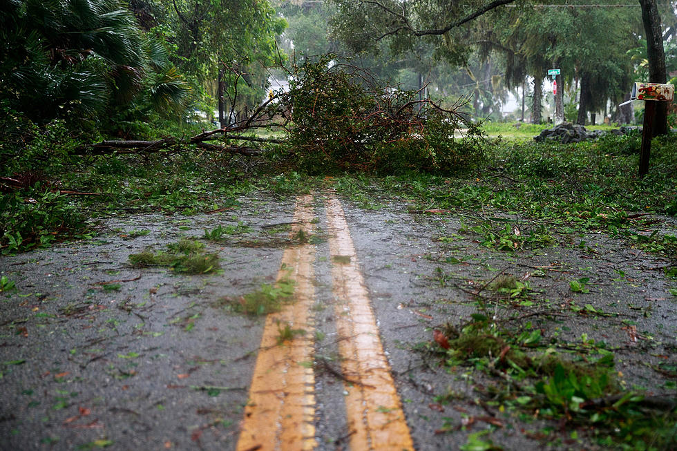
More rainfall is in the forecast that could potentially exacerbate flooding issues in an already inundated West Alabama.
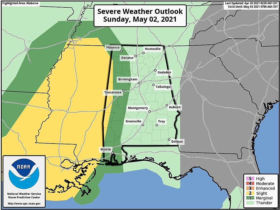
The National Weather Service in Birmingham has issued the following Hazardous Weather Outlook:
This Hazardous Weather Outlook is for the counties served by the
National Weather Service office in Birmingham.

.DAY ONE...Outlook through Tonight.

Damaging straight line winds up to 60 MPH will be possible in the
northwest from 6 PM until Midnight. Heavy rainfall will also be
possible and could result in localized flooding.

Minor river flooding is ongoing along the Chatooga River above Weiss
Lake and along the Black Warrior River Basin. Please refer to
specific river products for details.

.DAYS TWO THROUGH SEVEN...Tuesday through Sunday.

Damaging straight line winds up to 60 MPH will be possible in the
southeast Tuesday afternoon from 2 PM through 10 PM Tuesday evening.
Heavy rainfall will also be possible and could result in localized
flooding.

Minor flooding is expected to continue along portions of the
Chatooga River and Black Warrior River basins through Friday. Please
refer to specific river products for details.
Townsquare Media Tuscaloosa's Operation Storm Watch is brought to you by Safe-T Shelter. Visit their website here to see their selection of residential and commercial safe rooms and storm shelters. To contact a Safe-T Shelter representative, click here to visit their Facebook page.

Check out the latest radar models here:
If a tornado warning is issued in our area, Townsquare Media Tuscaloosa Operation Storm Watch will provide you with live and local team coverage, including wall-to-wall weather with James Spann.
To view the latest weather updates and information, click here.
TIPS: Here’s how you can prepare for power outages
KEEP READING: What to do after a tornado strikes
KEEP READING: Get answers to 51 of the most frequently asked weather questions...
More From Tuscaloosa Thread