Severe Storms Possible for Tonight + Heat Advisory Continues
Weather Alerts
The National Weather Service in Birmingham continues the "Heat Advisory" across West Alabama. The advisory, which started on Wednesday, is expected to run through Friday night at 9 p.m.

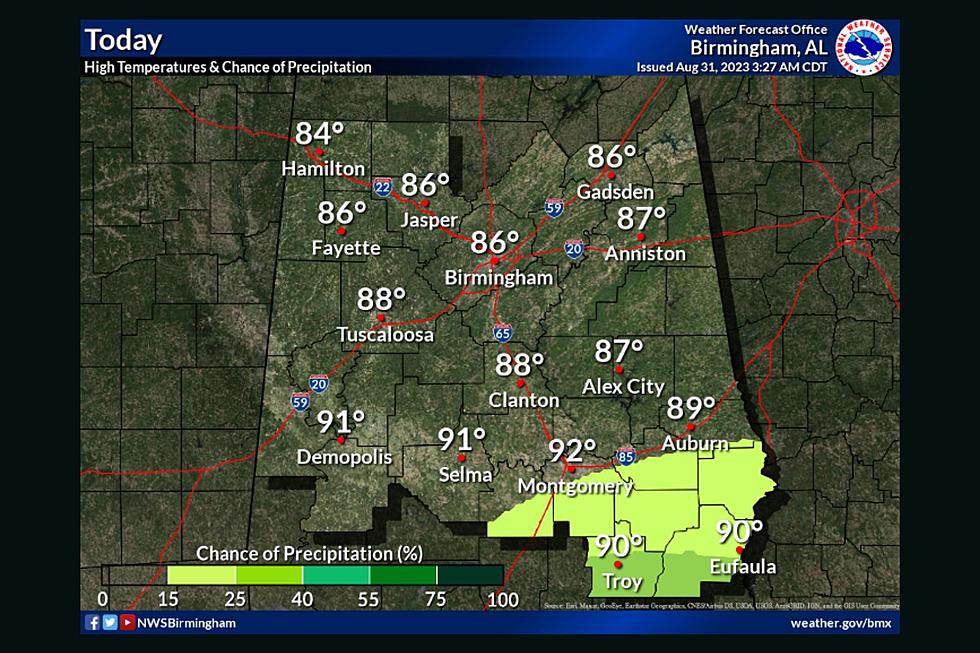
Heat indices for today will be between 105-112 degrees.
The National Weather Service in Birmingham says that "hot temperatures and humid conditions will produce heat index values at or above 105 degrees" during the day this Friday.
It also notes that in parts of the South "heat index values will range from 110 to 112 degrees."

Heat Advisory 7/22/23
The "Heat Advisory" Friday impacts the following counties: Autauga, Barbour, Bibb, Blount, Bullock, Calhoun, Chambers, Cherokee, Chilton, Cleburne, Coosa, Dallas, Elmore, Etowah, Fayette, Greene, Hale, Jefferson, Lamar, Lee, Lowndes, Macon, Marengo, Marion, Montgomery, Perry, Pickens, Pike, Russell, Shelby, St. Clair, Sumter, Talladega, Tallapoosa, Tuscaloosa, Walker, and Winston.
There is also an "Excessive Heat Warning" for portions of South Alabama.
Severe Weather Possible in Afternoon and Evening
James Spann, ABC 33/40, and Townsquare Media Tuscaloosa Chief Meteorologist said storms Friday afternoon and evening could produce "strong straight line winds and possibly some small hail."
The National Weather Service in Birmingham listed Tuscaloosa in the area of "slight risk" for severe storms Friday afternoon and evening. This risk includes potential of winds "up to 60 mph" and "quarter size hail."
(Source) Click here to follow the Facebook Page of James Spann. Click here for more information from the National Weather Service in Birmingham.
Severe Weather Terminology You Should Know
Heat-Related Weather Terminology
More From Tuscaloosa Thread