2 Flood-Related Alerts Impacting Tuscaloosa, Alabama Area Friday Evening
The National Weather Service in Birmingham has issued two separate flood-related alerts for the West Alabama area, including the cities of Tuscaloosa and Northport.
The Flood Advisory, issued at 6:32 p.m. Friday, is as follows:
The National Weather Service in Birmingham has issued a * Urban and Small Stream Flood Advisory for... Southwestern Tuscaloosa County in west central Alabama... * Until 830 PM CDT. * At 632 PM CDT, Doppler radar indicated heavy rain due to thunderstorms. This will cause urban and small stream flooding. Between 1 and 2 inches of rain have fallen. * Some locations that will experience flooding include... Tuscaloosa, Northport, Holt, Coaling, Coker, Bryant Denny Stadium, University Mall, Tuscaloosa Amphitheater, McFarland Mall, Tuscaloosa Regional Airport, Shelton State Community College, Lake Lurleen State Park, University Of Alabama Quad, Stillman College, Oliver Lock And Dam, Taylorville, Palmore Park, Lake Tuscaloosa Dam, Cottondale and Flatwoods. Additional rainfall amounts of 1 to 2 inches are expected over the area. This additional rain will result in minor flooding. |

The Flash Flood Warning, issued at 6:39 p.m., is as follows:
The National Weather Service in Birmingham has issued a * Flash Flood Warning for... South Central Tuscaloosa County in west central Alabama... * Until 945 PM CDT. * At 639 PM CDT, Doppler radar indicated thunderstorms producing heavy rain across the warned area. Between 2 and 3 inches of rain have fallen. The expected rainfall rate is 2 to 4 inches in 1 hour. Additional rainfall amounts of 1 to 3 inches are possible in the warned area. Flash flooding is ongoing or expected to begin shortly. HAZARD...Flash flooding caused by thunderstorms. SOURCE...Radar. IMPACT...Flash flooding of small creeks and streams, urban areas, highways, streets and underpasses as well as other poor drainage and low-lying areas. * Some locations that will experience flash flooding include... Tuscaloosa, Northport, Bryant Denny Stadium, University Mall, McFarland Mall, Tuscaloosa Amphitheater, Tuscaloosa Regional Airport, University Of Alabama Quad, Taylorville, Stillman College, Oliver Lock And Dam, Palmore Park, Cottondale and Fosters Boat Landing. FLASH FLOOD...RADAR INDICATED EXPECTED RAINFALL...2-4 INCHES IN 1 HOUR |
As conditions change, The Tuscaloosa Thread will continue to monitor the situation closely. Stay connected here for any updates as details become available.
Townsquare Media Tuscaloosa's Operation Storm Watch is brought to you by Safe-T Shelter. Visit their website here to see their selection of residential and commercial safe rooms and storm shelters. To contact a Safe-T Shelter representative, click here to visit their Facebook page.
Check out the latest radar models here:
If a tornado warning is issued in our area, Townsquare Media Tuscaloosa Operation Storm Watch will provide you with live and local team coverage, including wall-to-wall weather with James Spann.
To view the latest weather updates and information, click here.
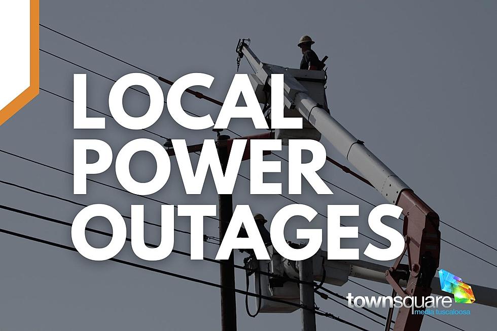
TIPS: Here’s how you can prepare for power outages
KEEP READING: What to do after a tornado strikes
KEEP READING: Get answers to 51 of the most frequently asked weather questions...
More From Tuscaloosa Thread