NWS Issues Tuscaloosa County AREAL FLOOD ADVISORY for June 11, 2021
The National Weather Service in Birmingham has issued a FLOOD ADVISORY for Tuscaloosa County, including several local municipalities. The advisory will remain in effect until 12:45 p.m. Friday.
The text of the advisory is as follows:
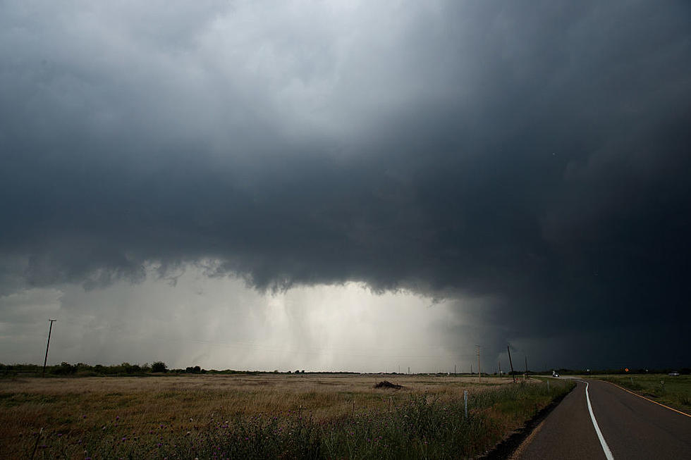
The National Weather Service in Birmingham has issued a

* Urban and Small Stream Flood Advisory for...
  Tuscaloosa County in west central Alabama...

* Until 1245 PM CDT.

* At 946 AM CDT, Doppler radar indicated heavy rain due to
  thunderstorms. This will cause urban and small stream flooding.

* Some locations that will experience flooding include...
  Tuscaloosa, Northport, Holt, Brookwood, Coaling, Vance, Coker,
  Bryant Denny Stadium, Tuscaloosa Amphitheater, University Mall,
  Tuscaloosa Regional Airport, McFarland Mall, Deerlick Creek
  Campgrounds, Shelton State Community College, Lake Lurleen State
  Park, Binion Creek Landing, Samantha, Lake Wildwood, Mercedes Benz
  Of Alabama and Abernant.

PRECAUTIONARY/PREPAREDNESS ACTIONS...

Turn around, don`t drown when encountering flooded roads. Most flood
deaths occur in vehicles.
Townsquare Media Tuscaloosa's Operation Storm Watch is brought to you by Safe-T Shelter. Visit their website here to see their selection of residential and commercial safe rooms and storm shelters. To contact a Safe-T Shelter representative, click here to visit their Facebook page.

Check out the latest radar models here:
If a tornado warning is issued in our area, Townsquare Media Tuscaloosa Operation Storm Watch will provide you with live and local team coverage, including wall-to-wall weather with James Spann.
To view the latest weather updates and information, click here.
TIPS: Here’s how you can prepare for power outages
KEEP READING: What to do after a tornado strikes
KEEP READING: Get answers to 51 of the most frequently asked weather questions...
More From Tuscaloosa Thread