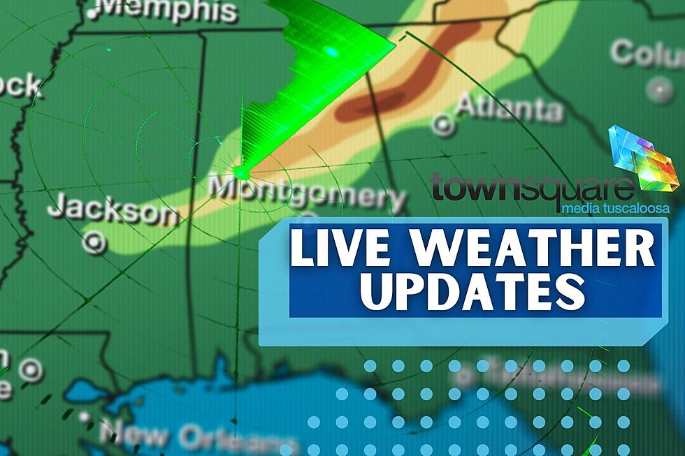
Stay Aware with Continuous Severe Weather Updates for Central, West Alabama
Weather Reporter Note: Here is where you will find continuous live updates concerning and related to the severe weather threat for our coverage areas. The most current information is at the top of this article.
The National Weather Service has issued the following:
Flood Advisory
Bibb and Perry until 10:45 pm
Hale and Walker until 10:45 pm
Flood Watch
Bibb, Fayette, Greene, Hale, Lamar, Perry, Pickens, Sumter, Tuscaloosa, and Walker until Wednesday morning.
Tornado Watch Update
There has been an update from the National Weather Service on Tornado Watch until 11:00 pm for the following counties:
Bibb - canceled at 10:15 pm
Perry - goes until 6 am Wednesday
Hale - NWS canceled at 9:27 pm
Tuscaloosa - NWS canceled at 9:27 pm
Greene - NWS canceled at 8:32 pm
Sumter - NWS canceled at 8:32 pm
Walker - NWS canceled at 8:32 pm
Severe Thunderstorm Warning
The National Weather Service in Birmingham has issued a Severe Thunderstorm Warning for Tuscaloosa County until 7:30 pm.
Areal Flood Advisory
The National Weather Service in Birmingham has issued an Areal Flood Advisory for the following Counties:
Green, Pickend and Sumter until 7:30 pm
Fayette, Lamar, Marion, Pickens, Tuscaloosa, Walker, and Winston until 8:00 pm.
The NWS CANCELLED Tornado Warning
The National Weather Service in Birmingham has issued a Tornado Warning for Tuscaloosa County until 7:45 pm.
Updated SPC threat risk levels

Monitoring Conditions to our West
Currently, there is a Tornado Watch issued for the southern 2/3 of Mississippi and Southeast Louisiana.
Wind Advisory
National Weather Service in Birmingham is continuing its wind advisory. Click here for counties and timeframe.
Flooding Information
Updated at 11:00 am
LOCALLY HEAVY RAINFALL IS LIKELY THIS AFTERNOON THROUGH TONIGHT. ONE
TO FOUR INCHES OF RAIN IS POSSIBLE, WITH LOCALLY HIGHER AMOUNTS IN
THE NORTHWEST. THIS COULD LEAD TO FLOODING OF LOW LYING OR POOR
DRAINAGE AREAS.
Updated at 9:30 am
Flood Warning until further notice for the following areas:
Black Warrior River at Selden Lock and Dam
Sucarnoochee River at Livingston
Tombigbee River at Bevill Lock and Dam
Tombigbee River at Gainesville Lock and Dam
Tombigbee River at Demopolis Lock and Dam
From the National Weather Service in Birmingham " For interests along the Tombigbee and Black Warrior River basins in southwest Central AL, the forecast calls for rising water levels which will reach minor flood stage from the Wed-Thurs. timeframe."
School Closing Information
Click here for school closing information.
Severe Weather Threat Overview
We are intensely monitoring the conditions of a storm system that is impacting the southern region. It will travel through Louisiana, Mississippi, Alabama, and the Florida panhandle. James Spann, ABC 33/40, and Townsquare Media Tuscaloosa Chief Meteorologist said that we have an “active day ahead.”
This dynamic storm system was part of the impacts to Texas and southern Oklahoma. According to the Weather Channel, “there were at least 20 reports of tornadoes on Monday, with most of those being in Texas. Jacksboro, Round Rock, Madisonville, and Crockett are some of the communities in Texas that suffered damage from suspected tornadoes.”
Things to Do Right Now
In general, stay weather aware. This is our tornado season, being prepared and aware is key.
Be sure you know what county you live in and know your surrounding counties.
Make sure you know your safe place for the location(s) you will be at today and this evening.
Have multiple ways to receive weather information for watches and warnings.

TIMING
Spann noted that “the window for severe storms opens up in far West Alabama around 2:00 p.m... the window for the I-65 corridor (Huntsville, Birmingham, Montgomery) is from 6 pm until 2 am... and most of the storms will impact East and Southeast Alabama after midnight.”
THREATS
All modes of severe weather are expected today. “Storms will be capable of producing large hail, damaging wind, and tornadoes. The highest tornado potential is in the "moderate" and "enhanced" risk areas across West and Southwest Alabama this afternoon into the evening hours,” said Spann. Tonight the threat will be centered on strong winds along the squall line.
National Weather Service in Birmingham Highlights
Where:
All of Central Alabama.
When:
Today 2 PM - Wednesday 6 AM.
Threats:
Tornadoes.
Damaging winds up to 70 mph.
Large hail.
Localized Flash Flooding.
Non-thunderstorm wind gusts of 30-40 mph.
Spann Breaks Down the Storm Prediction Center Threat Levels and Areas
“SPC has extended the "moderate risk" (level 4/5) into far Southwest Alabama, including parts of Choctaw, Clarke, and Washington counties. An "enhanced risk" (level 3/5) extends as far east as Carrollton, Moundville, Camden, and Mobile. A "slight risk" (level 2/5) is defined over to Haleyville, Birmingham, and Troy, and the rest of North and East Alabama is in a "marginal risk" (level 1/5)," noted by Spann.
Possible Flooding – Flood Watch
We wanted you to be aware that with the influx of rain there is the potential for flooding. There is a Flood Watch for portions of Central and West Alabama. Click here for the details on the flood watch.
Wind Outlook
Most of Alabama is under a wind advisory. Wind gusts outside of thunderstorms could get as high as 35 to 40 mph. Click here for the details on the wind advisory.
Townsquare Media Tuscaloosa Radio Stations
In the event there is a tornado warning, we will provide non-stop severe weather coverage on these radio stations:
Praise 93.3
92.9 WTUG
95.3 The Bear
METV 97.5
Catfish 100.1
Tide 100.9
ALT 101.7
105.1 The Block
Townsquare Media Tuscaloosa Coverage Area Counties
Bibb
Fayette
Greene
Hale
Lamar
Perry
Pickens
Sumter
Tuscaloosa
Walker
(Source) Click here for more from the Weather Channel. Click here to follow the Facebook Page for James Spann. For more from the National Weather Service Birmingham, click here.
Ways to Receive Severe Weather Information
Severe Weather Terminology You Should Know
Amazing and Intriguing Weather Folklore
TIPS: Here's how you can prepare for power outages
KEEP READING: What to do after a tornado strikes
KEEP READING: Get answers to 51 of the most frequently asked weather questions...
More From Tuscaloosa Thread