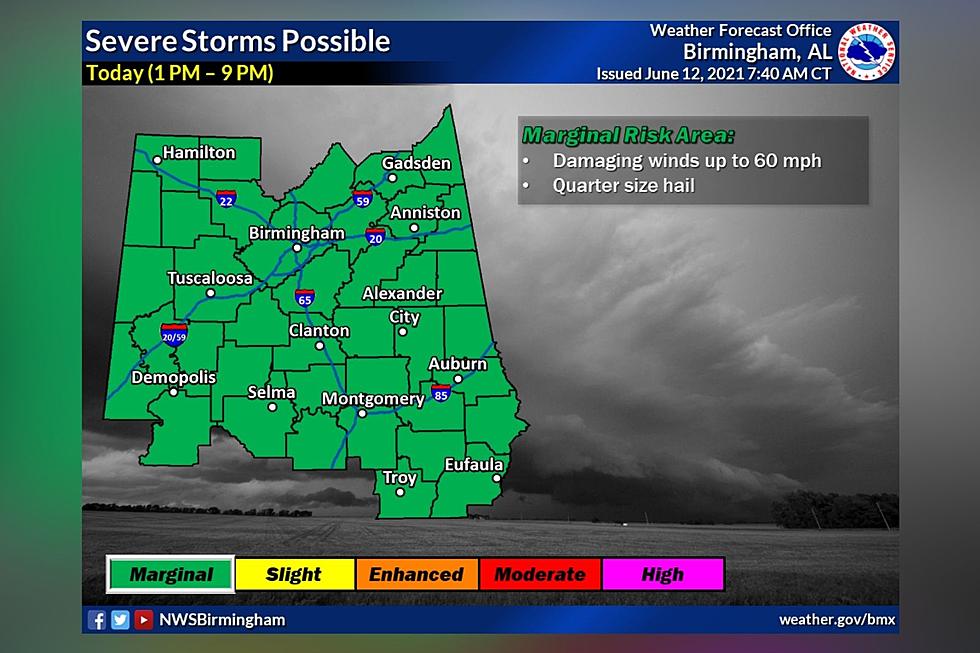
Heads Up: Marginal Risk for Severe Storms in Central Alabama
Update: The National Weather Service in Birmingham has issued a Significant Weather Advisory for North Central Tuscaloosa County until 2:00 pm. Winds in excess of 40 mph are possible with this storm.
Expired: The National Weather Service in Birmingham has issued a Significant Weather Advisory for Southeastern Tuscaloosa and Northeastern Bibb Counties until 1:00 pm. Winds in excess of 40 mph are possible with this storm.
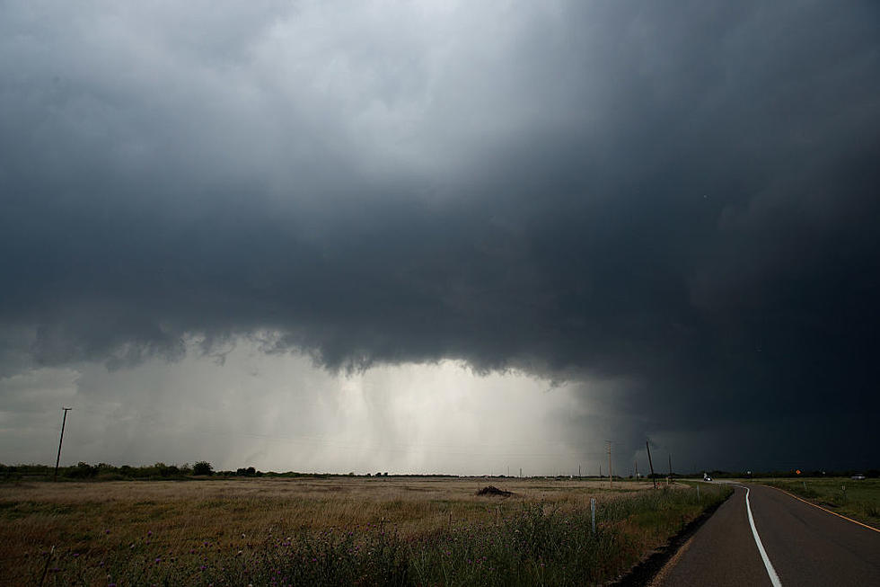
Be sure to stay weather aware this afternoon into this evening as we have the potential for scattered to numerous showers and thunderstorms in Central Alabama. Also, some storms could be strong to severe. Expect warm and humid conditions as well.

The National Weather Service in Birmingham has issued a Hazardous Weather Outlook for our coverage areas. This means that “strong to severe thunderstorms may develop during the afternoon hours from around 1 PM to 9 PM across Central Alabama. The main threat will be damaging winds up to 60 MPH. A few storms may also have large hail.”
This also brings a concern for flooding; the National Weather Service in Birmingham notes that “heavy rainfall will occur at times which may cause localized flooding across portions of Central Alabama. Minor flooding is occurring along portions of the Tombigbee River basin today."
James Spann, ABC 33/40, and Townsquare Media Tuscaloosa Chief Meteorologist lets us know that “Random, scattered thunderstorms will develop across Alabama this afternoon. It won’t rain everywhere, but where they do form, they could be strong with some small hail and strong gusty winds.”
(Source) Click here to follow the Facebook Page for James Spann. For more from the National Weather Service Birmingham, click here.
Ways to Receive Severe Weather Information
KEEP READING: Get answers to 51 of the most frequently asked weather questions...
Severe Weather Terminology You Should Know
More From Tuscaloosa Thread