Heat Index Concerns For Sunday and Monday Afternoons
Heat Index Concerns For Sunday and Monday Afternoons

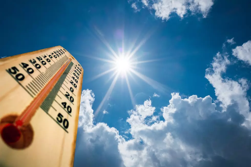
To prepare you ahead of time, we wanted you to know that there is a concern for heat index values for Sunday, August 9, 2020 and Monday, August 10, 2020 in the afternoons. Guidance from the National Weather Service suggests that we “may approach 105 degrees briefly during the afternoon across portions of Central Alabama.”
This has also triggered a Hazardous Weather Outlook from the National Weather Service that covers our various Townsquare Media radio station listening areas. The counties include Autauga, Barbour, Bibb, Blount, Bullock, Calhoun, Chambers, Cherokee, Chilton, Clay, Cleburne, Coosa, Dallas, Elmore, Etowah, Fayette, Greene, Hale, Jefferson, Lamar, Lee, Lowndes, Macon, Marengo, Marion, Montgomery, Perry, Pickens, Pike, Randolph, Russell, St. Clair, Shelby, Sumter, Talladega, Tallapoosa, Tuscaloosa, Walker, and Winston.
This is a friendly reminder that the heat index factors in heat and humidity. Please remember that heat-related illnesses can be prevented. Even though the heat index values may briefly reach 105 degrees, please be careful. Heat disorders include sunburns, heat cramps, heat exhaustion, and heatstroke. Please take a moment out to review the heat-related terminology and safety tips below.
(Source) For more from the National Weather Service, click here.
Hot Weather Safety Tips
Heat-Related Weather Terminology
Summer Calls for Swimming Safety
More From Tuscaloosa Thread