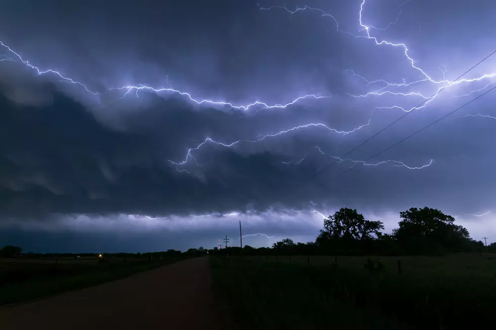
Severe Thunderstorm Warning Issued for Greene County Until 5:15
The National Weather Service in Birmingham has issued a severe thunderstorm warning for Greene County until 5:15 p.m. Tuesday.
The NWS predicts a strong storm capable of producing winds up to 60 miles per hour will move east toward Boligee, Eutaw and Forkland.
All residents in the path of the storm are advised to seek shelter immediately.
The full text of the warning is below:
The National Weather Service in Birmingham has issued a

* Severe Thunderstorm Warning for...
  Greene County in west central Alabama...

* Until 515 PM CDT.

* At 420 PM CDT, a severe thunderstorm was located near Emelle, or 12
  miles north of Livingston, moving east at 50 mph.

  HAZARD...60 mph wind gusts.

  SOURCE...Radar indicated.

  IMPACT...Expect damage to roofs, siding, and trees.

* Locations impacted include...
  Eutaw, Forkland, Boligee, Union, Gainesville, Epes, New West
  Greene, Mantua, Allison, Walden Quarters, West Greene, Knoxville,
  Thornhill, Tishabee, Snoddy, New Mount Hebron, Eutaw Municipal
  Airport, Clinton, Five Points Intersection and I 20 Rest Area Near
  Eutaw.
Townsquare Media Tuscaloosa's Operation Storm Watch is brought to you by Safe-T Shelter. Visit their website here to see their selection of residential and commercial safe rooms and storm shelters. To contact a Safe-T Shelter representative, click here to visit their Facebook page.

Check out the latest radar models here:
If a tornado warning is issued in our area, Townsquare Media Tuscaloosa Operation Storm Watch will provide you with live and local team coverage, including wall-to-wall weather with James Spann.
To view the latest weather updates and information, click here.
TIPS: Here's how you can prepare for power outages
KEEP READING: What to do after a tornado strikes
KEEP READING: Get answers to 51 of the most frequently asked weather questions...
More From Tuscaloosa Thread