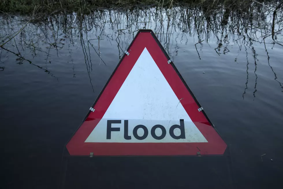
Significant Weather Advisory Issued for Tuscaloosa, Perry, Hale and Bibb Counties
The National Weather Service in Birmingham has issued a Significant Weather Advisory in effect for several counties in West Alabama until 2:30 p.m. Sunday.
The text of the advisory is as follows:
...SIGNIFICANT WEATHER ADVISORY FOR SOUTH CENTRAL TUSCALOOSA...
NORTHWESTERN PERRY...NORTHEASTERN HALE AND SOUTHWESTERN BIBB COUNTIES
UNTIL 230 PM CDT...

AT 144 PM CDT, DOPPLER RADAR WAS TRACKING A STRONG THUNDERSTORM 7
MILES SOUTHWEST OF LOW GAP, OR 17 MILES NORTH OF GREENSBORO, MOVING
SOUTHEAST AT 20 MPH.

PEA SIZE HAIL AND WINDS IN EXCESS OF 40 MPH WILL BE POSSIBLE WITH
THIS STORM.

LOCATIONS IMPACTED INCLUDE...
BRENT, LOW GAP, MERTZ, MORGAN SPRINGS, HARPER HILL, WATEROAK, FOLSOM,
PHIPPS, ELLARDS AND HAVANA.

PRECAUTIONARY/PREPAREDNESS ACTIONS...

TORRENTIAL RAINFALL IS ALSO OCCURRING WITH THIS STORM, AND MAY LEAD
TO LOCALIZED FLOODING. DO NOT DRIVE YOUR VEHICLE THROUGH FLOODED
ROADWAYS.

FREQUENT CLOUD TO GROUND LIGHTNING IS OCCURRING WITH THIS STORM.
LIGHTNING CAN STRIKE 10 MILES AWAY FROM A THUNDERSTORM. SEEK A SAFE
SHELTER INSIDE A BUILDING OR VEHICLE.
Townsquare Media Tuscaloosa's Operation Storm Watch is brought to you by Safe-T Shelter. Visit their website here to see their selection of residential and commercial safe rooms and storm shelters. To contact a Safe-T Shelter representative, click here to visit their Facebook page.

Check out the latest radar models here:
If a tornado warning is issued in our area, Townsquare Media Tuscaloosa Operation Storm Watch will provide you with live and local team coverage, including wall-to-wall weather with James Spann.
To view the latest weather updates and information, click here.
TIPS: Here’s how you can prepare for power outages
KEEP READING: What to do after a tornado strikes
KEEP READING: Get answers to 51 of the most frequently asked weather questions...
More From Tuscaloosa Thread