
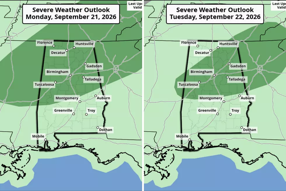
West Alabama Under Marginal Risk for Storms Monday, Tuesday
The Storm Prediction Center has placed several Alabama counties under a “Marginal Risk” for strong to severe storms for today, Monday, September 21, and Tuesday, September 22. Counties outside the marginal risk area could expect thunderstorms.
West Alabama Counties Under Marginal Risk for Monday
Bibb
Fayette
Greene
Hale
Lamar
Perry
Pickens
Sumter
Tuscaloosa
Walker

Possible Threats
The primary threat is damaging wind with gusts up to 60 mph and lightning.
Timeline
The National Weather Service in Birmingham said that residents should expect active weather today and tomorrow between “1 p.m. – 9 p.m.”
James Spann Looks Ahead
James Spann, Alabama Weather Network Chief Meteorologist, has some good news: cooler air is expected this week.
“We finally get a shot of cooler air later this week. Highs drop into the mid-80s by Thursday and Friday, with morning lows in the low to mid-60s,” said Spann. “About ten degrees lower than what we have experienced for much of September. The air will be drier, and most places will be rain-free.”
Mary K. – Weather Forecaster
Fall 2026 Regional Outlooks from The Old Farmer's Almanac
Gallery Credit: Mary K
LOOK: The top small towns for taking in America's fall foliage
Gallery Credit: Stacker
LOOK: 50 cozy towns to visit this winter
Gallery Credit: Laura Ratliff